Sunset On The Apache Trail – Photography
Arizona is famous for spectacular scenery, though some imagine the desert to be rather monotonous. It can be in some spots, but there is such variety in the landscape!
A person can be in the pine-filled mountains near the Grand Canyon to the vast and open landscape of Tombstone within an easy day drive.
Recently, part one of this adventure captured a rare Sonoran snowfall (you can view that post here), and the day was so epic…it had to be divided into two posts! Totally unplanned and unexpected roads just lured us in.
We were completely unprepared for this day, which I DO NOT RECOMMEND! Especially in the desert, it is wise to be prepared for just about anything.
In our ignorance, we just kept following the beauty. Thankfully we had a good experience, but there were a few hours we really wished we knew where we were and had snacks or water. Here is how the day unfolded…
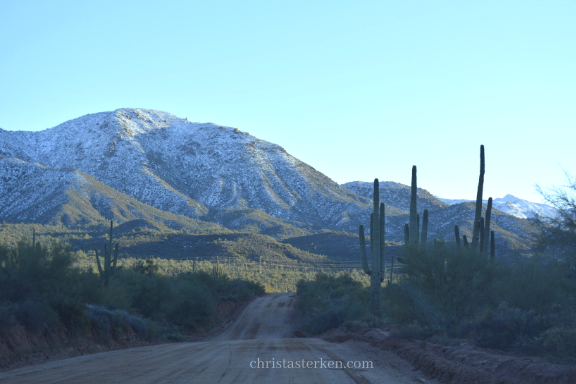
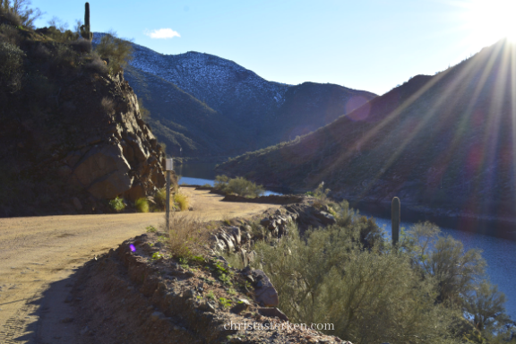
Following the road less traveled for an hour(on a photo shoot) led us to Roosevelt Lake, a huge reservoir along the Salt River. Even after living here for several years, we had no idea we were so close to this breathtaking spot.
Yes, my adjectives probably sound like a paid tour guide, ha ha, but it really WAS that stunning. We noticed that a dirt road was described as the Apache Trail, and seeing cars coming out of it, we assumed it was a reasonable trek.
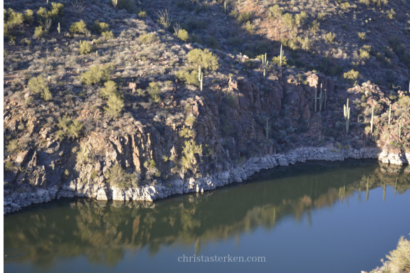
We googled the mileage and it showed 44 miles, less than turning around and taking the “long” way back home.
Naive.
Now we know that the Apache Trail, also known as Arizona Route 88, is a SCENIC trip…not the best for an impromptu venture.
While the sun neared the tops of the mountains.
With limited cell service. And no supplies.
And no knowledge of the well known, ahem, challenges of this road.
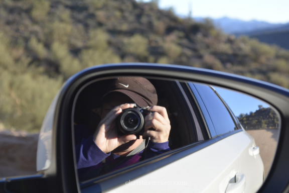
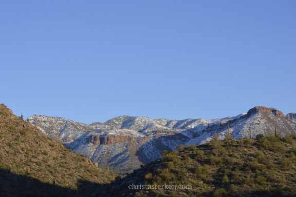
The sun still shone brightly as we entered into the canyons of the Tonto National Forest and approaching my favorite Arizona mountains…the Superstitions ( you might have heard of the tales of the Lost Dutchman).
This road was often wide enough for one car, sometimes two. But those two car areas were increasingly on the edge of very steep dropoffs.
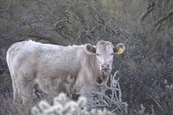
Further noted, should you ever attempt this drive, the road had deep fissures that we were concerned our Honda was not created for. It was one bumpy and jostling (and painful!) choice.
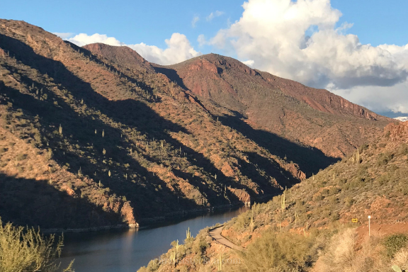
But oh, the pictures just can’t capture the true beauty. Every angle in a complete circle had entirely different lighting! We were taken with the free roaming cattle, the purple snowy shadows and on the other side of the road? Brilliant orange hills peppered with Saguaro cacti.
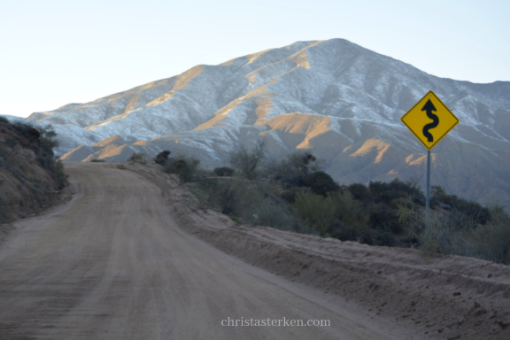
About this time, my husband lost his enthusiasm for indulging my photo shoot and nature admiration.
Being a wise man, he was intent on noticing the increasing steepness of the narrow switchbacks, the lack of cell service, and the quickly deepening shadows in the canyon.
I, however, only had eyes for nature and kept begging to stop for one more shot. Most of my shots from this point had to be from the window only.
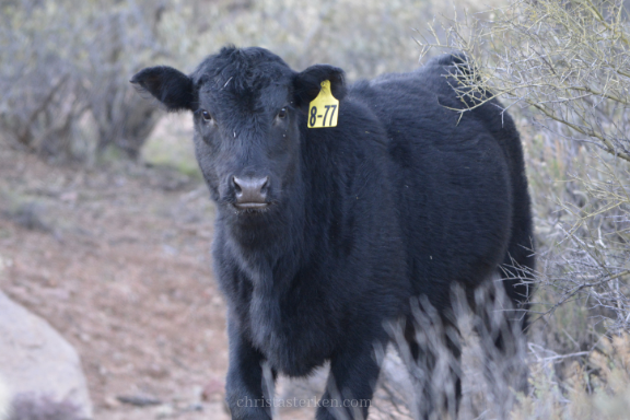
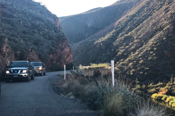
Notice the narrowness of the road for two cars, and you can see the river at the bottom on the right. What you can’t see here is how steep the drop off was…it was intense.
The odometer showed that in over 1 1/2 hours, we’d only progressed through about 20 of the 44 miles. That is how difficult the road was…and rain in the desert can do damage quickly with flash floods. The previous rain has likely made the road tougher.
We both started getting nervous about being the last ones out here in the desert night with no service. Since we didn’t know where we were, we became anxious to reach the pavement.
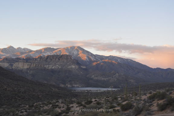
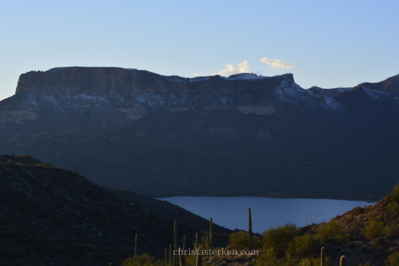
The land really became steep as we followed Canyon Lake (another lake we were unaware of) and along the Salt River. We passed Apache Lake as well, making notes of where to come when the weather is warmer!
These canyons changed so rapidly, it was awe inspiring. Ravines and what appeared to be “caves” led the imagination wild in the high peaks.
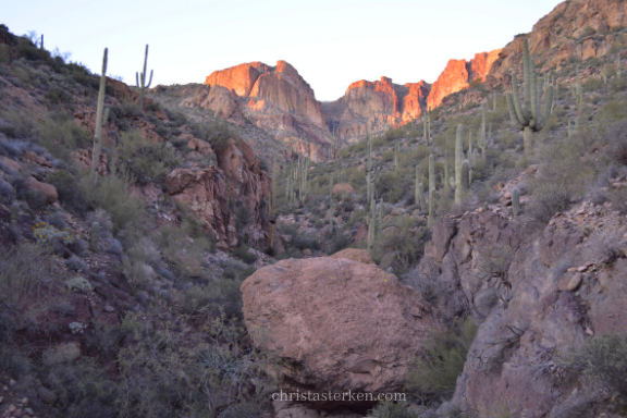
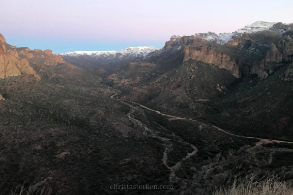
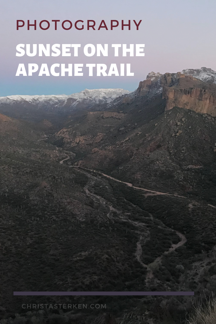
See the road down below? It was WAY below. We had started this road all the way back by those snowy peaks in the background.
An interesting story- this trail was a stagecoach trail and was named after the Apache Indians who originally navigated through the Superstition Mountains.

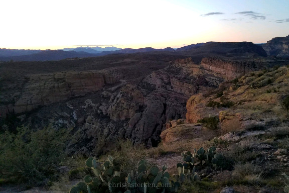
Driving this trail, we reached an elevation of about 1,500 feet in a short, switchback-filled ascent.
You can see the trail below nestled in between jagged peaks with a rapidly fading and stunning sunset.
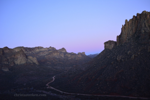
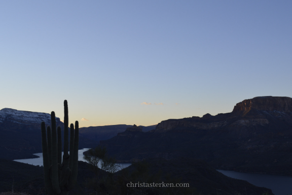
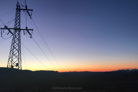
A once in a lifetime trip along the Apache Trail
Finally, after about several hours, darkness hit. Perfect timing for us to finally hit the paved portion again. Smooth roads have never felt so good after this bumpy ride!
Depending on your love of a good adventure, this will be a white knuckle adventure or a simple day outing. For us, it was a bit of both. This would be amazing in spring, with the wildflowers. And, we decided everyone should do this once if you have a chance. But once is enough for these bodies.
I love sharing these photography posts with you. It is a fun way to see other parts of the country we might otherwise not have a chance to explore. It is always a treat to bring you along via my camera.
If you enjoyed this post, please share! Check out more of previous visual vacations by clicking here.
Remember, please be prepared in advance if you plan to take the road less traveled. You might just wind up on a historic trail without cell service in the dark. NOT a smart idea, nor one we’d replicate. Make sure to have a travel kit in the trunk and a fully charged phone. Best of all, let someone know where you are headed when the road calls your name…
This day was the most stunning trips for beautiful scenery I’d had in Arizona. Adventure is a wonderful gift, let’s take the unknown way and see what we miss when we stay on the main highways. Story is waiting to be found.


